
Map Holland ZIP Code Coverage
Holland uses three documented ZIPs: 49422, 49423, and 49424. They are postal routing areas, not a substitute for a parcel boundary. Official Michigan map material calls ZIP boundaries approximate and intended for general reference. For a particular delivery address, USPS lookup is the final check. County parcel information and Holland's city-limit tools then identify the record custodian and local government unit.
| ZIP | Documented Holland area | Postal context | Record-search caution |
|---|---|---|---|
| 49422 | Holland mailing designation with downtown, business, and PO-box context | Holland, Michigan | The exact delivery polygon and PO-box split were not located in official USPS text. |
| 49423 | Core City of Holland and surrounding address use | Holland, Michigan | It is not the same as the corporate city boundary. |
| 49424 | North and east Holland-area service, including Beechwood and references in southern Olive, Park, and Holland Township | Holland and Beechwood mailing usage | A Holland postal city can be outside the City of Holland. |
Use the table as a starting classification, not as a delivery promise. The useful next record is the parcel's situs address and Government Unit field. That pair shows whether a Holland ZIP points to a city parcel or township service area.
Verify Holland ZIP Code 49422
49422 appears in Holland mailing, downtown, business, and PO-box context. Research did not locate official USPS text defining its exact delivery polygon or a complete PO-box-only split. That limitation matters. A 49422 label alone should not be used to infer a location inside City of Holland or to choose a city custodian. Check the complete street address through USPS and compare the address against county or city parcel information.
USPS address lookup is the official address-verification route, including ZIP+4 information for an actual delivery address.
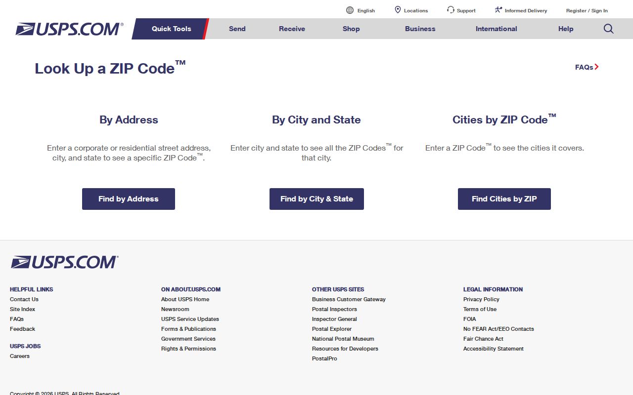
The USPS interface is the right final postal check because a general ZIP map is only approximate. Keep the returned ZIP with the exact address, then record the parcel's government unit separately for Holland records work.
Place Holland ZIP Areas 49423 and 49424
49423 is used by core Holland city addresses and surrounding address use. City Hall, Herrick, and Holland Museum addresses are examples of 49423 use, and the Ottawa GIS ZIP boundary service includes it. The important limit is geographic: postal service does not follow every municipal line. A record tagged 49423 still needs a Government Unit check before it is assigned to a city or township office.
49424 reaches Holland's north and east service area and appears on Holland Township materials. It also touches nearby Beechwood, southern Olive, and Park Township references. The Holland name on mail can therefore coexist with township governance. Save the official property address, ZIP, Government Unit, school district, and city-limit result together when the intended custodian matters. Postal labels and property governance should remain separate facts.
Search Holland ZIP Code GIS Fields
The Ottawa public parcel layer contains separate Property ZIP and Mailing ZIP attributes. That distinction is useful when a parcel's physical address and tax correspondence do not match. The basic miOttawa property landing page does not expose ZIP as a separate public form mode, so it should not be described as an open ZIP-wide people search. The GIS layer is the documented place to query parcel attributes and then inspect each property record.
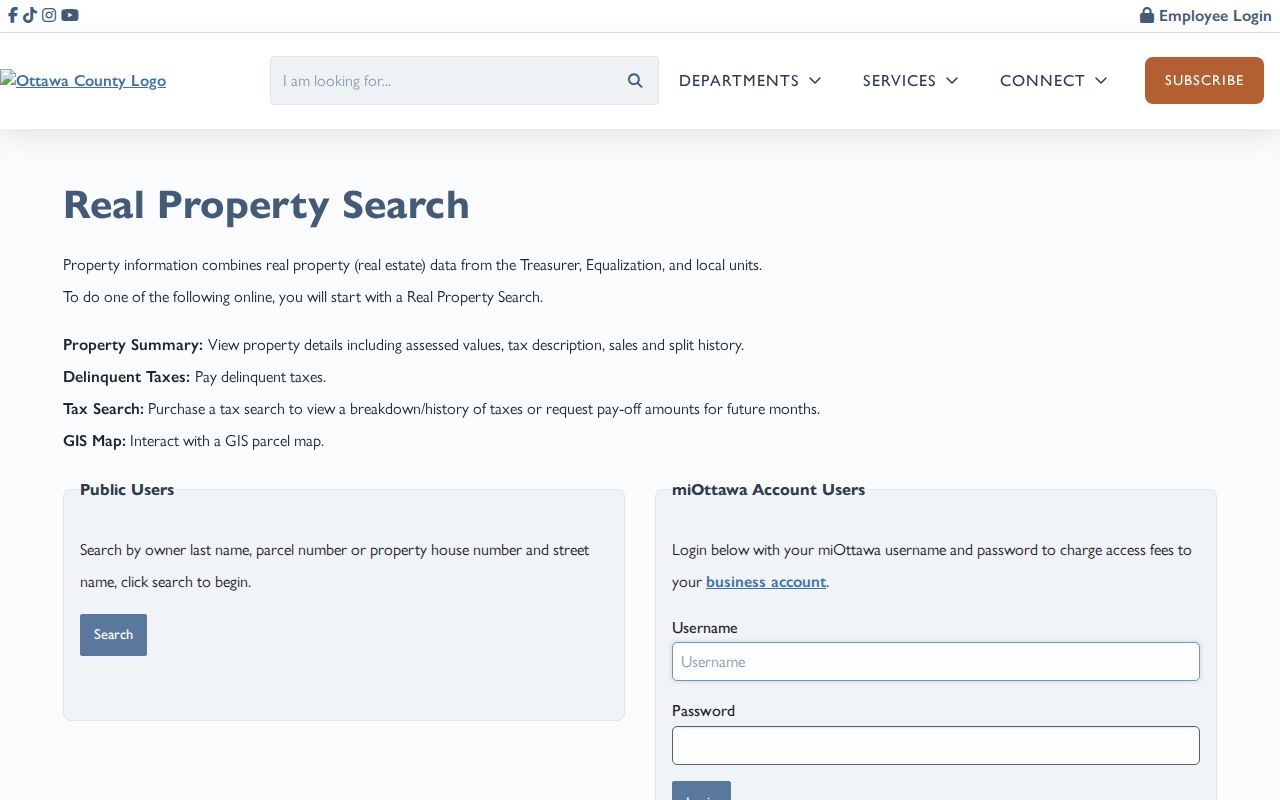
The property route leads to summary, taxes, sales and splits, and GIS. It complements a Holland ZIP search by connecting postal fields to a specific parcel. It does not prove who presently occupies that parcel.
| GIS attribute | Field type | What it distinguishes | Use with |
|---|---|---|---|
| Property ZIP | Parcel address attribute | ZIP assigned to the physical situs address | Property address and parcel polygon |
| Mailing ZIP | Tax-correspondence attribute | ZIP used for owner or tax mail | Mailing address, not residence inference |
| Government Unit | Parcel attribute | City, township, or other governing unit | City GIS city-limit check |
| Address number, direction, street, suffix, unit | Segmented address attributes | The physical address components | USPS full-address verification |
| Final, parent, and condominium PIN | Parcel identifiers | Current parcel and split or condominium lineage | Deed and legal-description research |
Narrow Holland ZIP Code Records
A ZIP helps organize an address question, but the documented search tools work differently. USPS verifies a complete address. County GIS can expose Property ZIP and Mailing ZIP on parcel records. The public property form uses owner, parcel, or house-number and street-name paths instead of a ZIP mode. Michigan QVF requests use jurisdiction, ward, precinct, or district, not a simple open ZIP request. Those boundaries should shape the search order.
- Verify the complete Holland street address through USPS and save the returned ZIP and ZIP+4 when supplied.
- Locate the parcel with its address, owner, or PIN in miOttawa, then retain its Property ZIP, Mailing ZIP, and Government Unit fields.
- Use Holland's “Do I Live in the City?” tool with county GIS to distinguish city limits from a Holland postal designation.
- For a public election-record request, select the appropriate jurisdiction, ward, precinct, or district and follow the written QVF procedure.
- After the ZIP narrows the area, use the Holland street directory for the address-by-address parcel and deed sequence.
A ZIP is a useful sorter, not a substitute for a parcel match. When an address falls near a boundary, repeat the USPS check and retain the city-limit and Government Unit results with the search notes.
Use Holland ZIP Election Geography
Michigan's Qualified Voter File stores city, state, and ZIP within the underlying registration record, yet public data requests are selected by jurisdiction, ward, precinct, or district. A ZIP alone is not a documented public request geography. A permitted release may contain name, residential and mailing addresses, birth year, registration date, status, voter ID, and requested history, while protected fields remain withheld.
Ottawa County's public clerk directory supplies a local election-contact route when a geographic question needs the correct clerk rather than an assumption based on mail delivery.
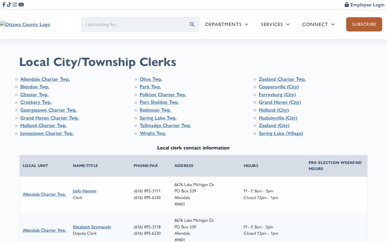
The clerk directory supports a jurisdiction-first approach. It avoids treating 49422, 49423, or 49424 as proof that an address belongs to one particular municipality or precinct.
Separate Holland ZIP Areas from City Limits
Postal and municipal geography overlap, but they are not identical. A parcel in the City of Holland may carry 49422 or 49424, while a postal address labeled Holland may be governed by Holland Township or another nearby unit. The county GIS Government Unit field and the Holland GIS “Do I Live in the City?” tool are the documented checks for that mismatch.
- ZIP
- A Postal Service routing code that helps deliver mail, not a municipal boundary.
- ZIP+4
- An added four-digit delivery detail assigned to a specific address or delivery point.
- PO-box ZIP
- A postal designation for box service that may not describe a street-delivery area.
- Unique ZIP
- A ZIP assigned to a single organization or large receiving point; none is asserted here for Holland.
- Carrier route
- A delivery sequence used by the Postal Service, not a public resident list or civic district.
Read Holland Court ZIP Routing
For selected 58th District Court matters, 49422, 49423, and 49424 are routed to the Holland location. The same routing material also includes 49460 and 49464. That makes a ZIP a practical filing-location clue, not proof that an address is incorporated in the City of Holland. Confirm the court's current directions and the address's government unit before relying on routing information.
This is a useful local example of the broader rule. Postal geography can point toward a service location while land records and municipal GIS answer the separate question of which local unit governs the parcel.
Bridge Historic Holland ZIP Code Clues
Older Holland address research usually needs a street, house number, lot, or legal description in addition to a modern ZIP. Herrick's street and house-number directories form a bridge to named households, while parcel PINs and legal descriptions connect an address to deeds and plats. The Library of Congress 1908 Sanborn record has 28 sheets that help compare a structure's footprint, materials, use, and street setting.
Sanborn maps do not list residents. The citywide renumbering year was not located in the research, so an older address should never be silently converted to a modern number. Compare intersections, the PIN lineage, legal description, and a dated directory or newspaper item before drawing an address-continuity conclusion.
Limit Holland ZIP Records
A Holland ZIP code directory cannot prove city residency, corporate limits, current presence, or every person at an address. It does not replace the USPS lookup, parcel record, or relevant custodian. Property and mailing ZIP values can differ, and a QVF request is subject to field restrictions and selected-geography rules. No official Holland ZIP registration totals were located, and city population data should not be relabeled as ZIP population.
Use the smallest lawful and verified record set that fits the question. Preserve the ZIP, full address, PIN, Government Unit, date checked, and source URL. If a property field is wrong, ask the office holding that particular record about its correction process rather than relying on a postal label alone.