
Holland Previous Residents Through Time
Different sources describe a house at different points in its life. An Ottawa parcel card and the deed index establish the current legal thread. Historic GIS, permits, directories, newspapers, maps, census schedules, and cemetery or probate records can extend that thread, but their date ranges and limits are not interchangeable. Begin with the source closest to the time period being investigated, then use the next source to test its result. The table distinguishes documented local coverage from online availability that has not been stated by the custodian.
| Source | Years it covers | Where held | What it shows |
|---|---|---|---|
| Ottawa deed index | Current web start not stated; restoration reaches records back to 1836, with older deed clues in the 1840s | Register of Deeds online, counter, research office, and archives | Transfers, recorded parties, legal descriptions, plats, and document references |
| Property and historic parcel GIS | Current parcel data; historic assessment layers 2004-2026 | miOttawa and Ottawa GIS | PIN lineage, situs and mailing fields, sales, splits, and parcel geometry |
| Holland city directories | Catalog starts 1894; documented intermittent local volumes through 1924-25 | Herrick and local-history collections | Address, household or business snapshot, depending on volume |
| Local newspapers | City News 1872-1977; Sentinel and Evening Sentinel microfilm 1912-2020 | Hope Digital Commons and Herrick | Notices, moves, obituaries, and community context |
| Federal census and tax rolls | Public schedules 1870-1950 under the 72-year rule; assessments 1838-73, 1860-1940, and 1960 onward, incomplete | Library databases and Archives of Michigan | Household or owner and tax snapshots |
| Sanborn maps and permits | Holland map references 1883, 1889, 1896, 1902, 1908, and 1948; permit web start not stated | Library of Congress, Library of Michigan, and City permit search | Building form, use, street continuity, and dated work evidence |
Start with the parcel and deed record for a recent question. Shift to directories, newspapers, maps, and census schedules as the trail moves earlier. A county preservation record reaching back to 1836 does not establish that every image is visible on the current public web form. For older instruments, the Register of Deeds research office, counter records, and the Archives of Michigan are the documented fallback path.
Holland Parcel Records Before the Trail
Begin previous-resident research with the Ottawa County Real Property Search, not a street-name guess. Search by owner, parcel number, or house number and street name. Save the Final PIN, Parent PIN or Condo PIN where applicable, full legal description, property or situs address, mailing address, government unit, and sale or split history. These fields can survive a split, merger, condominium conversion, or readdressing better than a familiar street number.
- Situs address
- The physical property address used to locate the parcel. It can differ from the owner's correspondence address.
- Final, Parent, and Condo PIN
- Parcel identifiers that distinguish a current parcel from its parent parcel or condominium unit history.
- Legal description
- The lot, block, plat, section, or other formal land description that connects the property to deeds when an address changes.
- Government unit
- The city, township, or other local jurisdiction shown with the parcel, important because a Holland mailing address can be outside the City of Holland.
Do not treat the mailing address as a proof of where an owner lived. It is correspondence data. The physical parcel, owner names, and recorded documents need separate comparison. A parcel page can also direct a user to the county GIS and deed services, keeping the address, PIN, and legal description together as the research moves backward.
The Ottawa historic parcel GIS service documents assessment layers from 2004 through 2026.
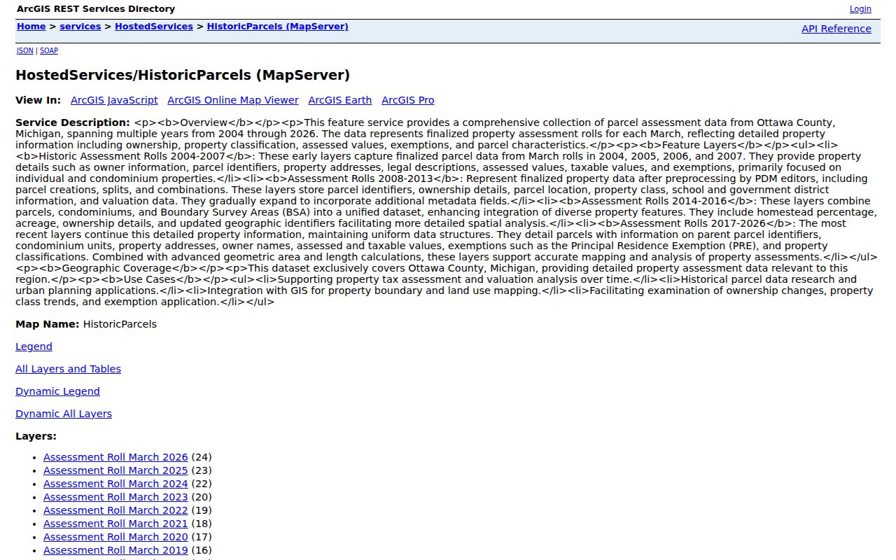
The historic layers are useful for comparing recent parcel geometry and assessment context, while the deed chain remains the source for the recorded transfer history.
Holland Previous Residents and the Deed Chain
The miOttawa Register of Deeds Document Search supports parcel, instrument number, current owner, date, liber and page, document type, and name or business searches. Start with the most recent transfer. The buyer is usually the grantee on that instrument, and the seller is the grantor. Record all named parties, the document type, recording date, instrument number, liber or page, legal description, and any plat or condominium reference. Search both individual and business names, retaining middle initials and using a narrow date range when names repeat.
- Open the current parcel record and copy the PIN, legal description, current owner, and recent sale information.
- Find the current acquisition in the deed index by parcel, instrument, owner, date, or liber and page.
- Read the acquisition record for the seller or grantor and compare the legal description with the parcel card.
- Search that prior owner as a grantee to locate the earlier acquisition, then repeat the comparison.
- For a seller's later property trail, search that person as a grantor after the sale date and compare the receiving parcel's legal description.
- When a link fails, search the Parent or Condo PIN, plat name, lot and block, or legal description before deciding the chain has ended.
- Grantor
- The person or entity transferring an interest in the document, often the seller on a deed.
- Grantee
- The person or entity receiving an interest, often the buyer on a deed.
- Chain of title
- The ordered sequence of recorded transfers associated with the same property.
- Liber and page
- Older book-and-page references that can help locate a recorded document alongside an instrument number.
The Register of Deeds search screen is the starting index for a Holland backward trail.

Its separate fields make a parcel, document number, name, and date window useful ways to narrow a long sequence of recorded transactions.
Holland Deed Records Beyond the Web
Ottawa's current public deed form does not state the first year available online. That omission is important. County restoration work reaches records back to 1836, and official historical references identify Ottawa deed and conveyance material from the 1840s. Those facts support asking for older records, but they do not prove that the public search reaches every early instrument or provides every image.
When a parcel search stops, take the PIN, legal description, lot or block, plat name, known party names, and date window to the Register of Deeds research office or counter. The Archives of Michigan is another documented route for related county record groups. A no-hit under a current address is often a prompt to search an earlier legal description or an older index book, not proof that ownership ended.
Holland Past Residents in Historic GIS
Historic parcel layers supply a recent comparison point, not a household roster. The 2004-2026 assessment coverage can help identify changes in parcel configuration, values, ownership labels, or address context. Use it with the current parcel card's Final PIN, Parent PIN, Condo PIN, and legal description. A split or merged parcel may leave earlier transfers under a prior identifier, while the current street address returns only the newer record.
Holland's own property and permit sources can add another address-based layer. The City of Holland permit search confirms search paths by address, owner, or permit number. A PBD number's final two digits designate the year, but the published static instructions do not state the complete result fields or the first year available. Use permit evidence to date work at the structure, not to identify every person who lived there.
Note: Match an old address to the legal description and PIN before treating a historic parcel layer as the same physical property.
Holland Records on Sanborn Sheets
Sanborn fire-insurance maps help date the building behind an address. Holland references are identified for 1883, 1889, 1896, 1902, 1908, and 1948. The 1908 Holland set has 28 sheets. These maps can show a building footprint, construction materials, floors, use, and street continuity. They do not identify the person who occupied the property, so a name must come from a directory, census schedule, notice, deed, or another person-centered source.
The Library of Michigan Sanborn microform guide identifies Michigan map access for the Holland address trail.
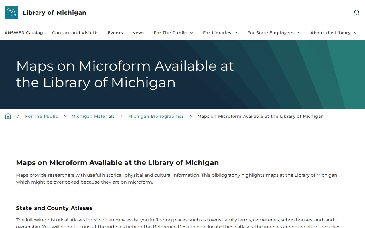
Map evidence can show whether a structure existed and how it was used at the time, then a directory or newspaper can test who was connected to it.
The 1871 Holland fire adds an important warning. A deed or tax record may describe a lot before the structure now standing was built. For a prefire question, separate the land history from the standing building, then check postfire maps and rebuilding records alongside earlier deeds, tax material, church records, cemetery material, and newspapers.
Holland Previous Residents in Census Years
For the people layer, pair documented Holland directories with the federal census. The local catalog begins in 1894, with specific volumes for 1894, 1897-98, 1901-02, 1903-04, 1908, 1913-14, and the wider 1924-25 run. A street or surname arrangement may lead to the first-listed resident, a business, or an address. The federal schedules provide a household snapshot in the years released under the 72-year rule. Both sources have geographic limits, so Holland city, township, and broader service-area boundaries need to be recorded.
- Use the closest local directory year to find the name, spelling, street, and any household or business notation.
- Search the street arrangement when the surname is absent, then record neighboring addresses without assuming a relationship.
- Pair the entry with the appropriate public federal census schedule and compare names, ages, relationships, and place.
- Use a newspaper notice, obituary, marriage record, permit, or deed to date a move between the two snapshots.
- Preserve the source year and page for each result, especially where the address may have changed.
The local volumes and their access conditions are detailed in the Holland city directory collections. A directory absence is not proof that the person was absent. Household heads, initials, spelling variants, children, lodgers, and people outside the book's geographic scope can create a false gap.
Holland Past Residents After a Death
Obituaries, cemetery records, deeds, directories, and probate can provide a careful endpoint for a former Holland resident. Herrick's indexes and microfilm help connect a name to a newspaper notice. The City of Holland's burial records viewer searches occupants at Pilgrim Home and Graafschap cemeteries. Probate records may contain public portions that identify heirs or an estate relationship, while protected filings remain unavailable. Each source answers a different question and should be compared by date and relationship.
The Herrick newspaper research page links local microfilm, indexes, and the House History Research resource.
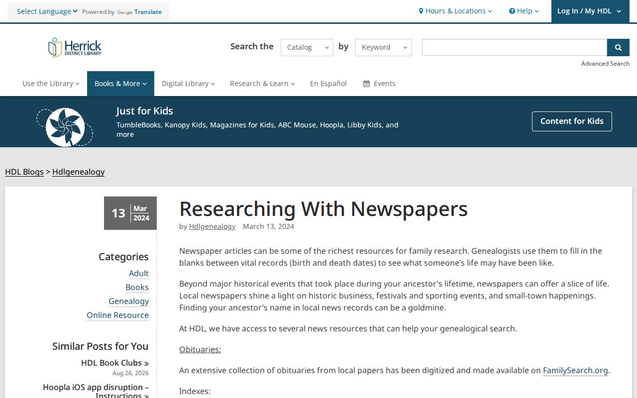
Its local newspaper route can turn an address or directory name into a dated notice, then send the research back to deeds, cemetery records, or probate.
Graafschap creates a local warning against overconfidence. Its sexton kept records at home, and most were destroyed in a fire; the city says the records were reconstructed as much as possible, with some information still missing. An empty viewer result should be checked against cemetery maps, markers, death records, church material, and obituary indexes before drawing a conclusion.
Holland Records After the 1871 Fire
The 1871 fire changed how an old Holland address should be read. A nineteenth-century transfer or tax record can describe the same lot while the building now standing was constructed later. Sanborn sheets help establish the later physical structure, but not the occupants. Directories and newspapers can identify a name near an address, while deed and tax material can track the land. Keep each finding in its own lane until a date, legal description, or source citation connects them.
That method also protects against a second false conclusion: older records may use a different street form, a broader township description, or an earlier parcel configuration. The legal description and lot history are the stable bridge. Previous residents are best traced as a documented sequence of people and property records, not as a guess based on one familiar address.